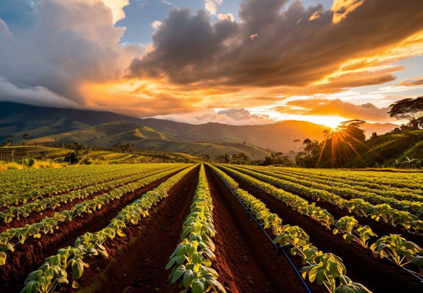
Your fields,
fully visible.
Sioma brings together satellite imagery, soil sensors, and AI-powered recommendations in one clean interface. No complicated setup. No consultant needed.
Request Demo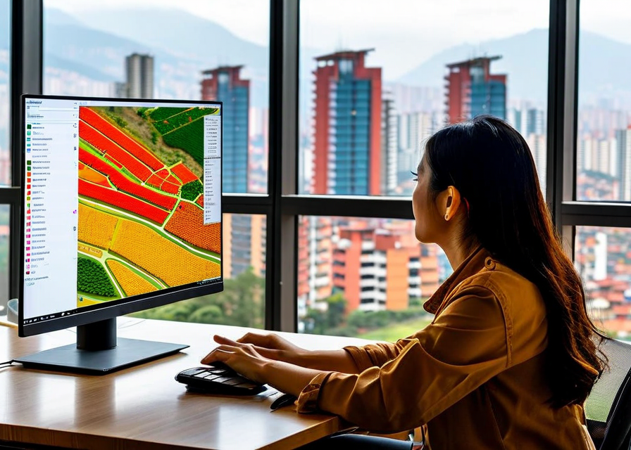
Sioma brings together satellite imagery, soil sensors, and AI-powered recommendations in one clean interface. No complicated setup. No consultant needed.
Request Demo
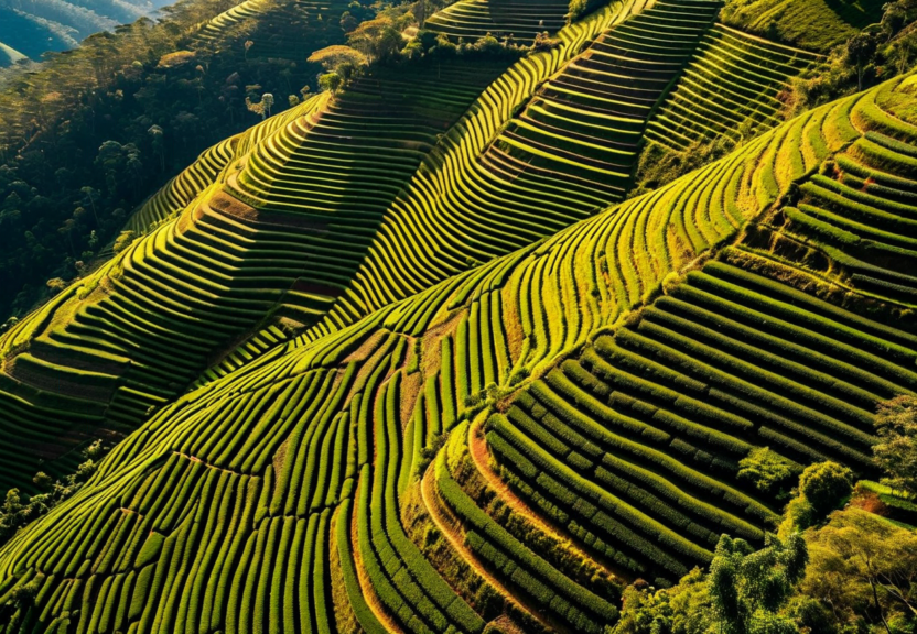
See every corner of your farm from above. Sioma syncs with satellite imagery updated every 5 days - no drone required. Spot problem zones before they become expensive problems.
Vegetation index overlays show you exactly which areas are stressed, which are healthy, and where to focus your attention this week.
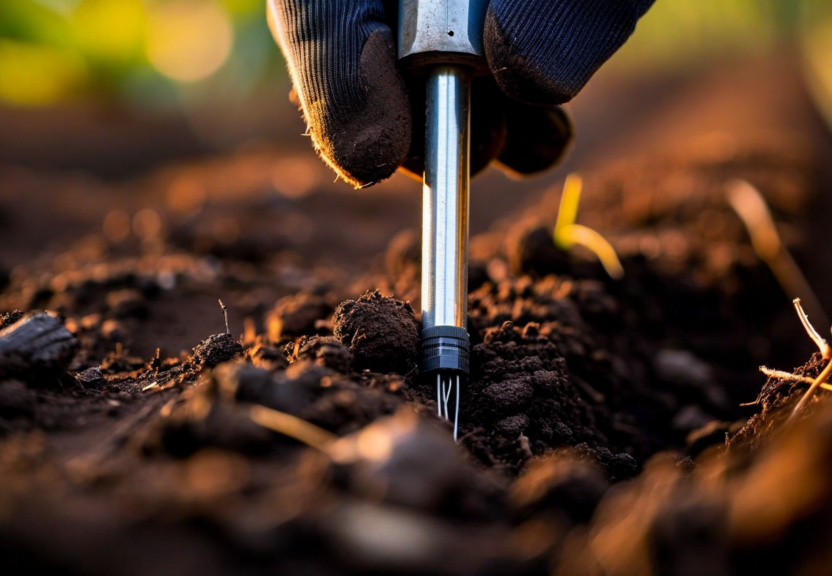
Soil health determines everything. Sioma maps your field's nitrogen, phosphorus, and moisture levels so you know exactly where to fertilize - and where you're wasting money.
Weekly readings update your soil profile automatically. No manual testing, no lab wait times.
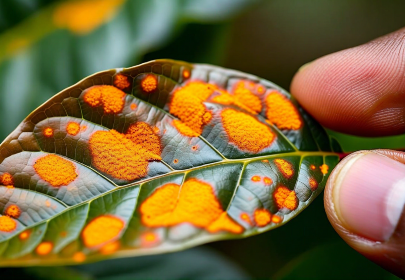
Catch problems before they spread. Our models analyze visual crop stress signals and alert you 72 hours before visible damage appears in your field.
Early alerts mean smaller treatment areas, lower pesticide costs, and less crop loss. Colombian farms using pest alerts report 40-50% reduction in emergency pesticide applications.
Water smarter, not more. Sioma integrates evapotranspiration data and soil moisture to give you daily irrigation recommendations calibrated to your specific crops and soil type.
Farms on the platform average 22% reduction in water use without any drop in yield. In water-stressed regions like the Cundinamarca savanna, that matters.
Sioma integrates data from four live sources, updated continuously.
Takes 20 minutes to set up. Your first satellite report arrives within 24 hours.
Request Demo